 ©Unsplash
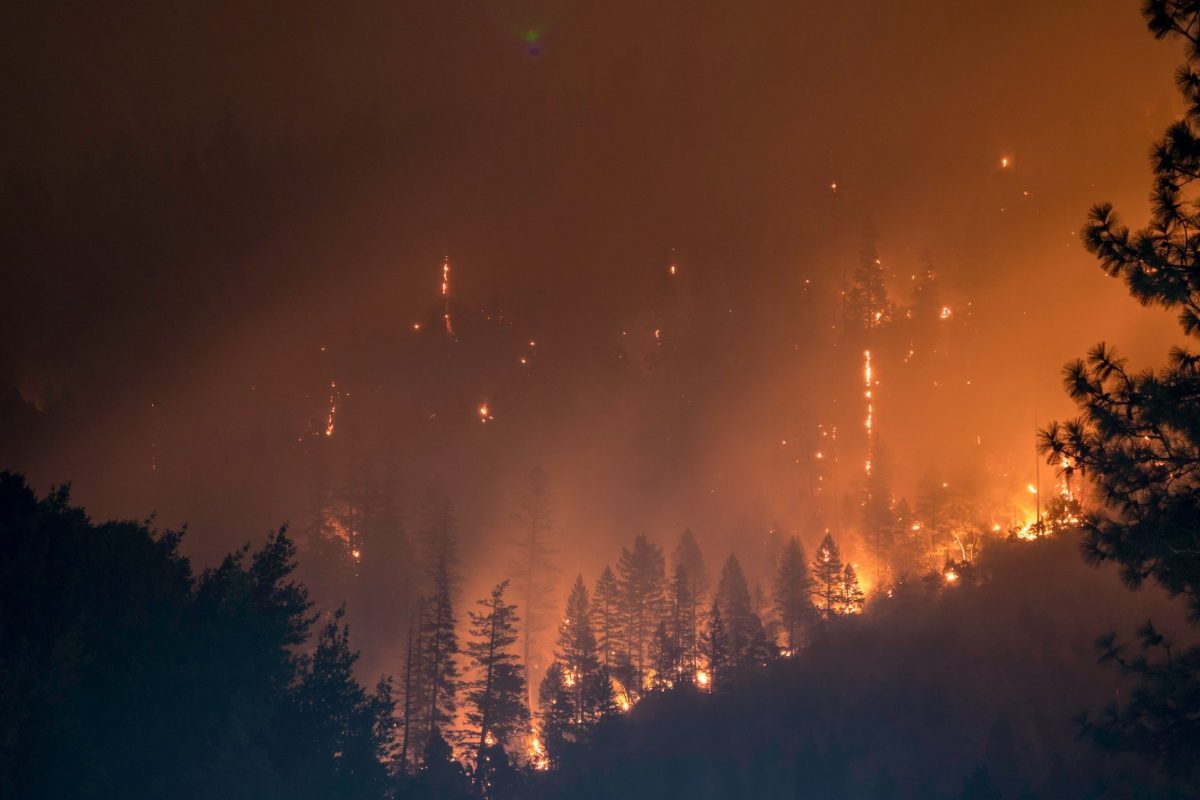
In 2025, Europe crossed a threshold that, just a few years ago, seemed far away: that of extraordinary fires.
According to data from the European EFFIS system, 1,079,538 hectares went up in smoke within the European Union, the highest level recorded since 2006. If we look at the entire area monitored - Europe, the Middle East and North Africa - the total exceeds 2.2 million hectares. These figures testify to a genuine change in scale, both in terms of the extent of the areas affected and the dynamics of the events: more intense and less and less confined to the Mediterranean basin alone.
The 2025 season began several months ahead of schedule. By the end of March, over 100,000 hectares had already burned in the EU. Until recently, this figure was only reached at the height of the summer season. The peak came in the summer, but with different characteristics than in the past. During the first three weeks of August, a long heat wave triggered 22 large, almost simultaneous fires between Spain and Portugal, ravaging more than 460,000 hectares: 43% of the European total. The temporal concentration of events is one of the most critical aspects. When several fires develop at the same time, the ability to intervene drops drastically, even with advanced civil protection systems.
The year 2025 also marks a geographical shift in risk. Germany, Slovakia and Cyprus recorded record levels of burnt areas. Fires are moving to higher latitudes, following favorable climatic conditions: high temperatures, dry vegetation and prolonged periods without rain. A total of 7,783 fires were mapped in 25 EU countries. Only Luxembourg and Malta were spared.
2025 was also the most critical year for the Natura 2000 network. In the EU, some 424,000 hectares of protected areas were affected by fire, representing 39% of the total burnt. In Italy, more than 27,000 hectares of Natura 2000 sites were affected. These are fragile habitats, often already under pressure, which will take years to regenerate - if at all. The picture is even clearer at European level: over the last three years, the area burnt in protected areas has doubled. A signal that calls into question the capacity of these areas to fulfill their conservation mission.
Fire monitoring is now much more accurate than ever before. The EFFIS system uses high-resolution satellite images and manages to map around 95% of burnt areas. Since 2018, it has also been possible to detect fires smaller than 30 hectares, significantly improving the quality of analyses. But technology is not enough to compensate for the intensification of the phenomenon. By 2025, the total area burned had increased by 20% compared with 2024, and was almost two and a half times higher than in 2023.
Faced with this escalation, the European Commission has reinforced its intervention tools. The civil protection mechanism and the rescEU fleet have been expanded, with new water-bombing aircraft and helicopters expected over the next few years. At the same time, the emphasis is on prevention and land management: reducing the load of vegetation fuel, forest management, management plans. But implementation times are long, while fires are accelerating.
The most striking observation for 2025 is both quantitative and structural: fires are changing in frequency, duration and distribution. They are no longer exceptional events, but an enduring component of European climate risk.
©GreenMe.it 2026 / Managing Editor : Julie Morgan - The Press Junction / Picture : ©Unsplash)